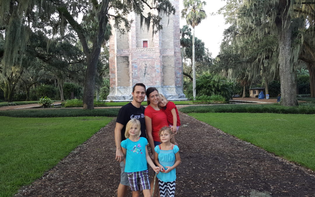
Need an escape from the bustle and crowds of the Florida Theme Parks? I have the perfect place for you to visit. Bok Tower Gardens is nestled among the orange orchards of Central Florida in Lake Wales. It provides a...
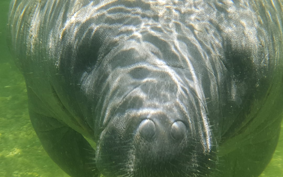
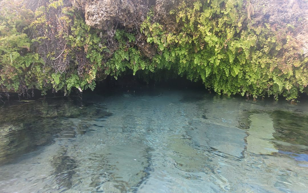
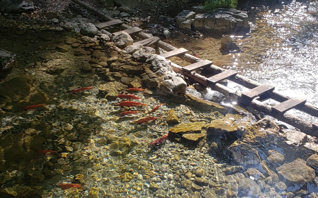
Florida Manatees at Blue Spring State Park
Florida Manatees at Blue Spring State Park
The best place to see manatees in the Orlando area is in the clear water of Blue Spring State Park. Visiting this park is a great way to see Florida beyond the theme parks and beaches. Besides manatee viewing, activities at Blue Spring State park include kayaking, swimming, snorkeling, tubing, hiking, fishing and camping.
KID RATINGS
Fun: ⭐⭐⭐⭐ (out of 5)
Difficulty: Very Easy EASY Moderate Hard Very Hard
KEY FEATURES
Terrain: Spring water, river, marshlands, flat trails & boardwalk
Time Needed: 1 hour to most of the day
When to Go: Anytime of the year, but winter is the best time to view manatees
COST
Blue Spring State Park Entrance Fee: $6 per vehicle! This might be the cheapest thing you can do in Florida and it just might be one of your favorites! Costs for other activities, like tube and kayak rentals are listed under “Things to Do.”
Tube & Snorkel Rentals: $5 first hour, $2.50 each additional hour, $15 entire day
Kayak Rentals: $17 to $54 depending on the kayak and length of time.
AMENITIES
-
Bathrooms
- Showers
- Concession Stand
- Gift Shop
THINGS TO BRING
Manatee Off-Season (April – October)
- Swim suit
- Water shoes if desired
- Snorkel
- Goggles
- Towel
- Snacks
- Sunscreen
Manatee On-Season (Nov – March)
- Stroller for little ones for walking on boardwalk to view manatees.
- Snacks
- Clothes that can get a little wet if kayaking.
DETAILS
Blue Spring State Park was my favorite place to see manatees while we lived in Florida. It was a top pick for any family or friends that visited us and wanted to see what makes Florida so great beyond the theme parks and Beaches.
Blue Spring State Park can be enjoyed all year round, but the best time to see the most manatees is between November and March. We visited Blue Spring during the on-season and off-season for manatees and enjoyed each visit.
Manatee Season – November to March
Manatees migrate from the ocean to the warmer springs of Florida where the water temperature stays at 72 degrees all year. During this time, you may see hundreds of manatees congregating at the spring head where the water is the warmest. When you enter the park, there is a manatee counter on the pay booth where you can find out how many manatees are in the spring that day.

There is a trail/boardwalk that follows the Blue Spring Run allowing visitors to see the beauty of the area and view the manatees in the crystal clear spring water. You are not able to swim or kayak near the spring head during manatee season.

However, you may still rent a kayak or canoe and explore the St. Johns River, which the Blue Spring waters feed into. If you are visiting Blue Spring only to view the manatees your visit will only take about an hour. If kayaking or taking a river boat tour on the St. Johns River, you probably need a half of a day.

Manatee Off-Season – April to October
Don’t let the phrase “off-season” fool you. Each time we visited during the off season we were still able to see a few manatees. In fact, because it was the manatee “off-season” we were able to kayak and swim near the spring head and get up close to these beautiful creatures.

Kayaking next to manatees in their natural environment was honestly magical and is something I will never forget. You are allowed to kayak next to the manatees, but you are not allowed to swim with them. Also, please do not chase or harass the manatees if you are lucky enough to get close to one.
If kayaking with manatees is a bucket list item for you I suggest checking out Crystal River between November and March. The summer kayaking with manatees is no guarantee at Blue Springs State Park.

Blue Spring State Park is a popular place to swim in the summer to escape the heat. Since Blue Spring is a steady 72 degrees F year-round, it strangely feels warm in the winter and cold in the summer, but I promise it’s the same temperature. You can enter the spring at the spring head and explore the deep crevice beyond what you can see.

After exploring the spring head you can follow the current and swim or take a rental tube down the Blue Spring Run that leads to the St. Johns River. You may see turtles, fish or manatees in this crystal clear water. There is a barrier blocking swimmers from going too far. At this barrier there are stairs allowing exit from the spring.

We spent a few hours during the summer exploring the spring, riding our tubes and swimming with the current. You could spend a good portion of a summer day at Blue Spring just swimming, tubing and kayaking.
There are picnic tables for lunch that you can pack in or pick up at the concession stand. If staying for several hours, I recommend parking and finding a picnic table by the parking lot, which is close to the St Johns River. There are picnic tables dispersed in the grassy area, a pavilion and a playground for younger kids in this area.
THINGS TO DO
Observing Manatees
The best time to see manatees is between November and March. However, there are usually a few near the spring throughout the year.

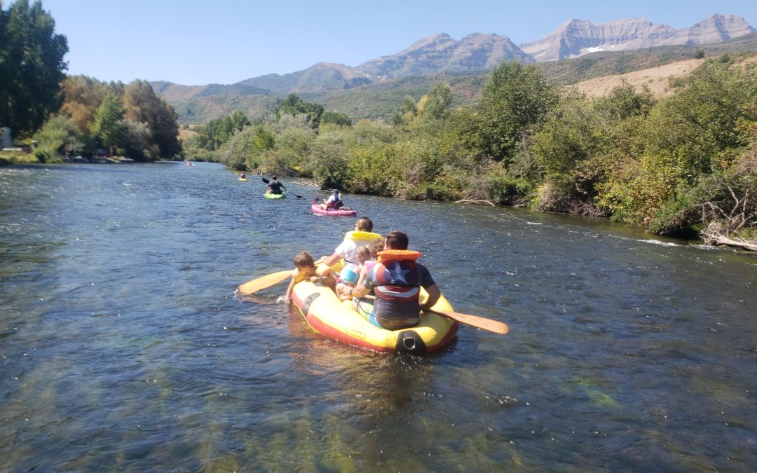
Kayaking/Canoeing
You can rent a kayak or canoe or bring your own. Lifejackets are provided. During the off-season you can kayak canoe close to the spring head. In manatee season you can explore the St. Johns River.

Swimming/Tubing
Explore the spring head and float an 1/8 mile down the blue spring run. Get out and do it again. Bring your own tube our rent one at the park.

Snorkeling/Diving
Explore the spring head and the surrounding crystal clear water during manatee off season with snorkeling gear (April to October).

River Cruises
A 2 hour nature and ecological tour on the St Johns River. We did not do a boat tour at this location but we did in others. Reservations can be made beforehand with St. Johns River Cruises.
Pine Island Trail
A 7.2 mile out and back hike that takes you through several Florida ecological systems. This is a flat trail that you can easily make into a shorter hike by just turning around and heading back the way you came at any point in time. This hike begins at the parking lot that is closer to St Johns River.
Scuba Diving
Explore the depths of the spring head. Must show proof of scuba diving certification.
Historic Site
The Thursby House was built in 1872 and is the centerpiece of the grassy area at Blue Spring State Park. We did not go on a tour inside but looked from the outside in. This home was a hub for steamboats traveling the St. Johns River in the 1800s.

Playground
We had three young kids while we lived in Florida so we visited the playground with each visit to Blue Spring.
Camping
Yes, there is camping in Florida. Blue Spring State Park campground is within walking distance of the Spring. There are 44 tent/RV sites and 6 cabins. Make reservations at Florida State Parks
PROS & CONS
PROS
-
Low Cost
-
Great way to see manatees in natural environment
-
Various activities – able to spend an hour of an entire day
-
Kid and adult friendly – both have a good time
- Great day/afternoon trip from Orlando area
CONS
-
Blue Springs State Park can reach capacity. If going in the summer, especially on a weekend, arrive within one hour of opening or go later in the afternoon after some crowds have left.
DIRECTIONS
Blue Spring State Park is located at 2100 W French Avenue Orange City FL 3276 and is just north of Orlando. It is about 1 hour from Disney, 40 minutes from Downtown Orlando and 40 minutes from Daytona Beach.
Below is the map to the Blue Springs State Park playground. I am using the playground as point of reference because this is where the main parking lot is for the spring, swimming area, boardwalk, kayak rentals, playground, picnic area and the Thursby House.
You can also put Blue Springs State Park in your GPS device, which will take you to the mina entrance. However, you will have to navigate to the parking lot. I recommend parking in the second lot which is the one by the playground. The first lot is the lot where the campground is.
MAPS
MORE INFO
Blue Springs State Park official site
Blue Springs snorkeling and tube rentals
Blue Springs kayak/canoe rentals and St. Johns River Cruises
OTHER NEARBY ADVENTURES
Disney World (1 hour)
Daytona Beach (40 min)
Universal Studios (50 min)
Kennedy Space Center (1 hr 20 min)

ABOUT
Hi, I’m Corrine! I’m an outdoor enthusiast and mother of four.
My goal is to inspire you to get outside and create your own amazing memories as a family. Life is precious and there are too many adventures to be had to spend life on the couch or in front of a screen.
YOU MIGHT ALSO LIKE: